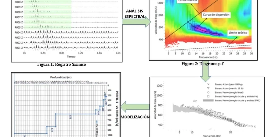
When a drill rig hits that thick glacial till layer northwest of Circle Drive, we usually recommend running an MASW line before finalizing the seismic site class. Saskatoon sits on a complex stratigraphy of tills, interglacial silts, and occasional sand lenses that can produce sharp velocity contrasts across a site. A single borehole log often misses the lateral variation, and that is where the multichannel approach fills the gap. Our lab team processes the dispersion curves in-house, extracting Vs profiles that feed directly into the NBCC site classification table. For sites near the riverbank where soft alluvium overlies stiffer till, we pair the MASW survey with seismic refraction to resolve the bedrock depth more cleanly, and if the client needs a full liquefaction screening we layer in SPT drilling to capture both velocity and penetration resistance in the same cross-section.
A single borehole log misses lateral velocity contrasts that can shift a Saskatoon site from Class C to Class E across 30 metres.
Technical details of the service in Saskatoon
Typical technical challenges in Saskatoon
Saskatoon’s freeze-thaw cycle penetrates well below 1.5 metres in an average winter, and that seasonal crust can stiffen the near-surface velocity just enough to bias a Vs30 calculation upward by 10–15%. Running the survey in spring after the ground has fully thawed, or applying a seasonal correction derived from long-term monitoring, prevents an overly optimistic site classification. The bigger risk is undetected soft infill in abandoned meander channels that cross the east side of the city; these features are narrow, rarely caught by a grid of boreholes, and can produce a localized Vs30 drop that alters the seismic design category for the entire structure. We map the array across multiple orientations to capture anisotropy, particularly where the till fabric has a strong horizontal layering that yields faster velocities parallel to the ice-flow direction than perpendicular to it.
Our services
Our Saskatoon MASW program covers the full workflow from field acquisition to the final seismic site class letter, and we handle the logistics for projects of any scale.
MASW Survey & Vs30 Determination
Full 24-channel acquisition on sites from single residential lots to multi-acre industrial parcels. We manage the trigger timing, geophone coupling, and stacking so the dispersion image is clean enough for unambiguous mode picking. The deliverable includes the 1D Vs profile, the Vs30 value calculated per NBCC 2020, and the corresponding site class letter.
Combined Seismic & Borehole Correlation
We run the MASW line directly over a logged borehole or test pit so every velocity boundary is tied to a measured soil description. This correlation strengthens the geotechnical report and satisfies the city’s peer-review expectations for Class C through E sites.
Top questions
How much does an MASW and Vs30 survey cost in Saskatoon?
Most projects in Saskatoon range from CA$2,220 to CA$4,300, depending on the number of array setups, the site access conditions, and whether a borehole correlation is included. A single-line survey on a clear residential lot sits at the lower end, while multi-line configurations on vegetated or sloped sites move toward the upper end. We provide a fixed-price quotation after a site walk or a review of the survey plan.
What site class does Saskatoon typically fall into?
There is no single answer because the geology changes quickly across the city. The thick glacial till north of Circle Drive commonly plots as Class C (Vs30 360–760 m/s), while the alluvial sediments along the river corridor and the interbedded silts on the east side often fall into Class D (180–360 m/s) or, in isolated pockets, Class E (<180 m/s). The only way to know for a specific parcel is to measure Vs30 directly with an MASW survey.
How long does the MASW field work take, and what access do you need?
A single-line 24-channel array with three shot points takes about two to three hours on site, including setup and calibration. We need a cleared corridor roughly 50 metres long and 3 metres wide, firm enough for a person to walk and strike a sledgehammer. For gravel surfaces or frozen ground, we bring a portable drill to seat the geophones properly. The processed report is typically delivered within five business days after the field session.